10 May 2023 ff, Φ ♣ Richmond (Contra Costa County, CA), inkl. Pogo Park

10.5.2023 ff, Φ ♣ Richmond (Contra Costa County, CA), inkl. Pogo Park

Richmond, CA – A multifaceted city:

  • Overview (below)
  • Internationally recognized for its „Health in All Policies“ approach (below), incl. cases study „Pogo Park“, in the Iron Triangle
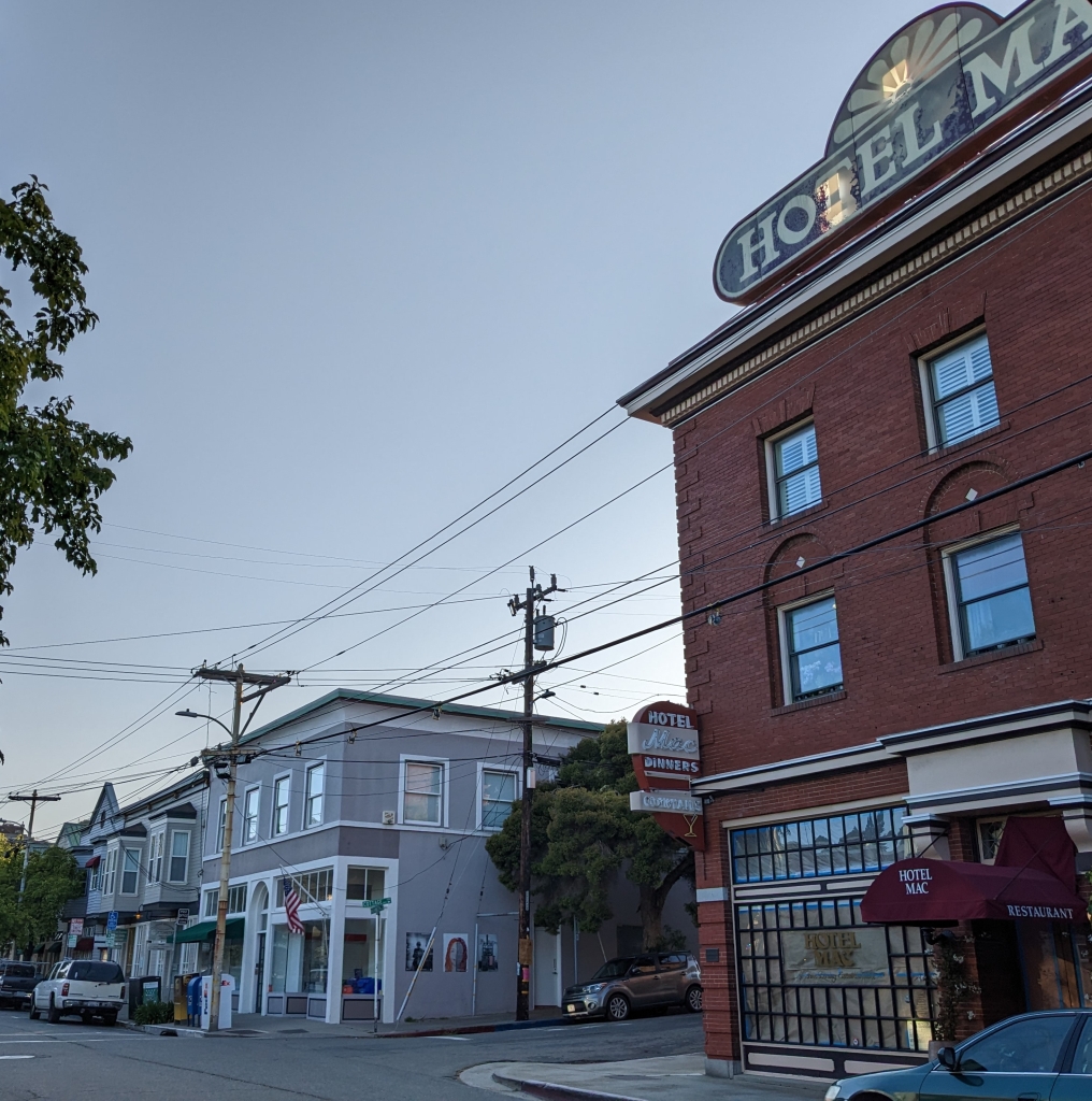
  • Point Richmond, https://en.wikipedia.org/wiki/Point_Richmond,_Richmond,_California: … Originally a tiny village known as East Yards …, Point Richmond was Richmond’s central downtown area from the late 19th century until the early 20th century, when the present downtown superseded it as the busiest part of town. Since then, its trademark “mom-and-pop” shops have largely survived … Point Richmond Historic District …
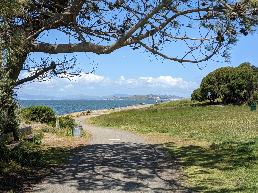
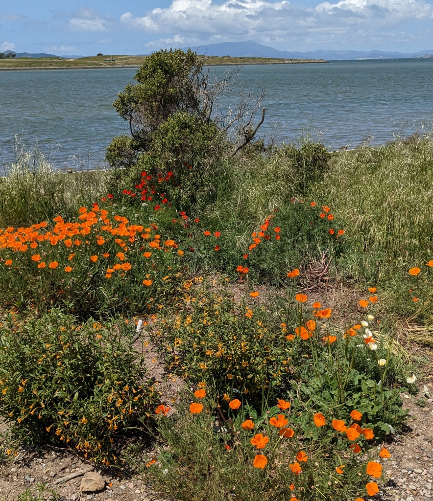
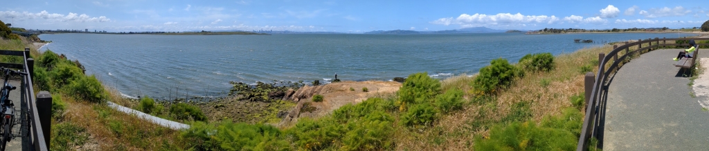
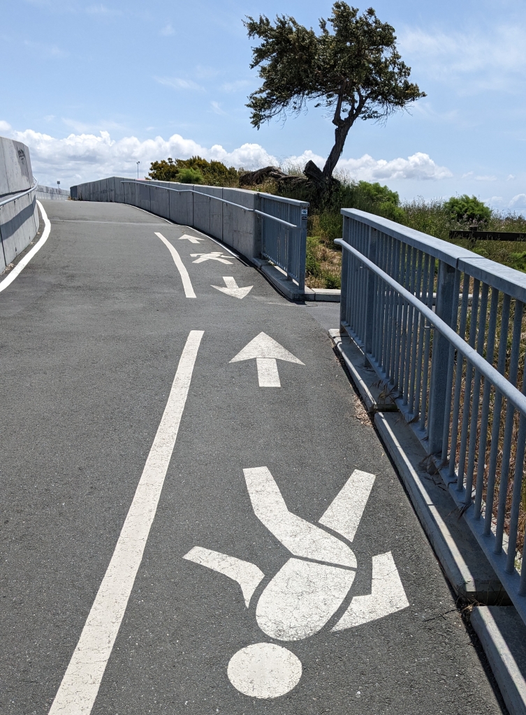
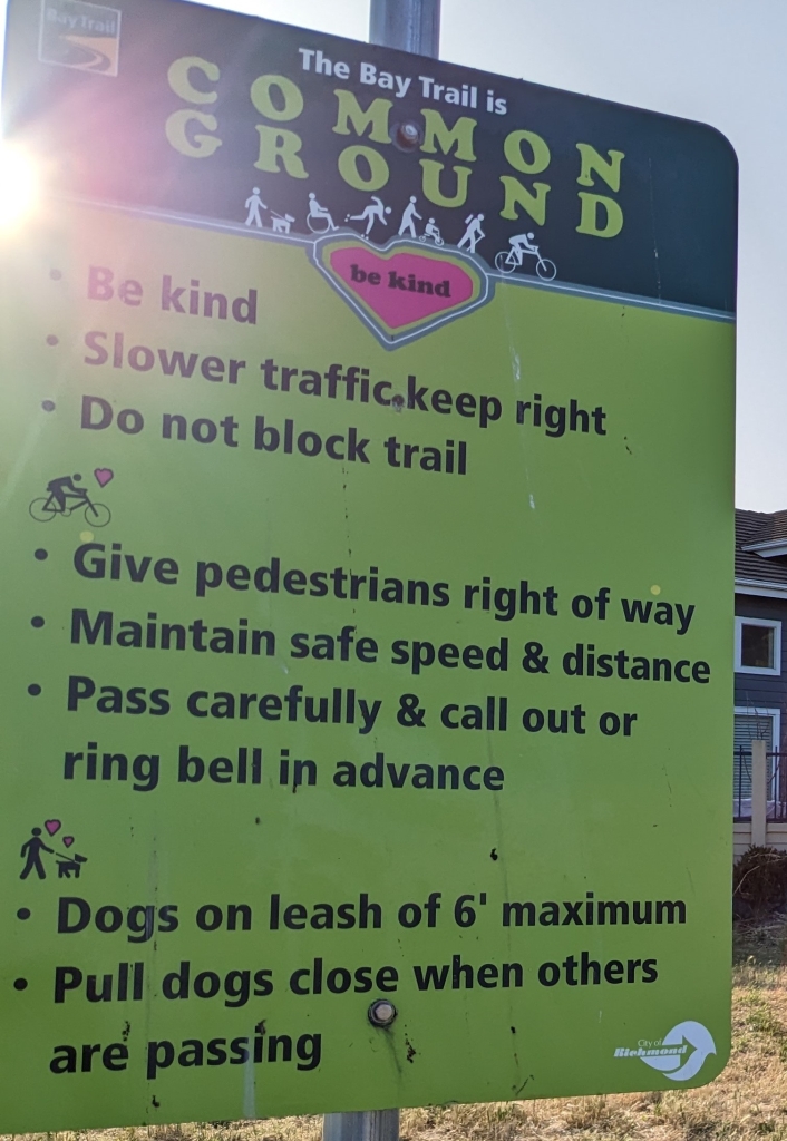
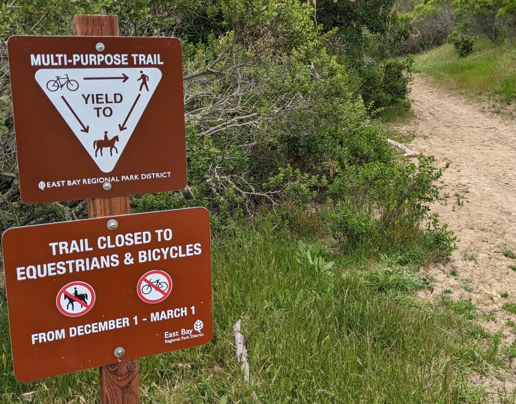
  • Richmond Bay Trail, www.pointrichmond.com/bay-trail/: Richmond has completed over 36 miles of San Francisco Bay Trail – far more than any other city on this planned 500-mile multi-purpose trail …
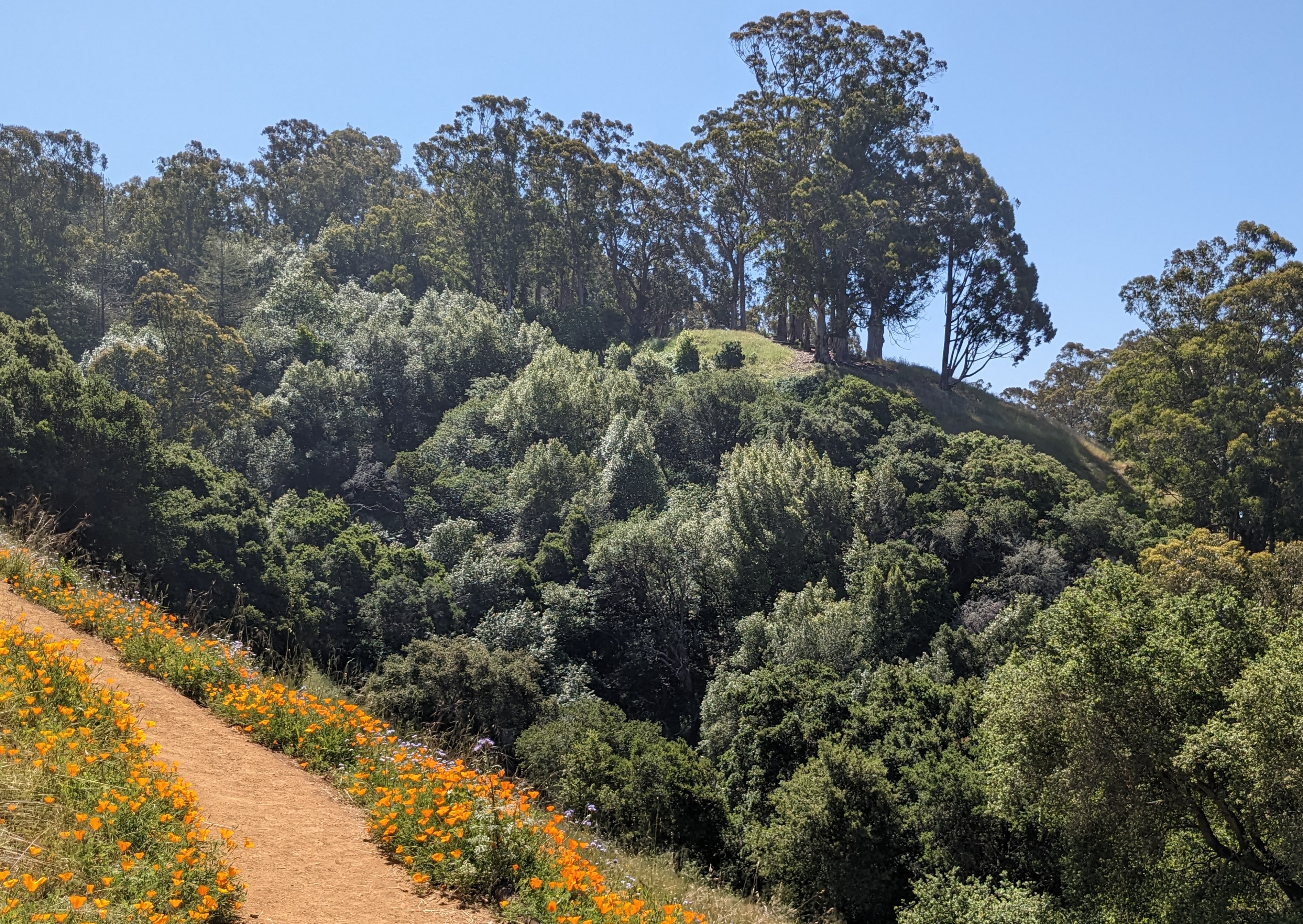
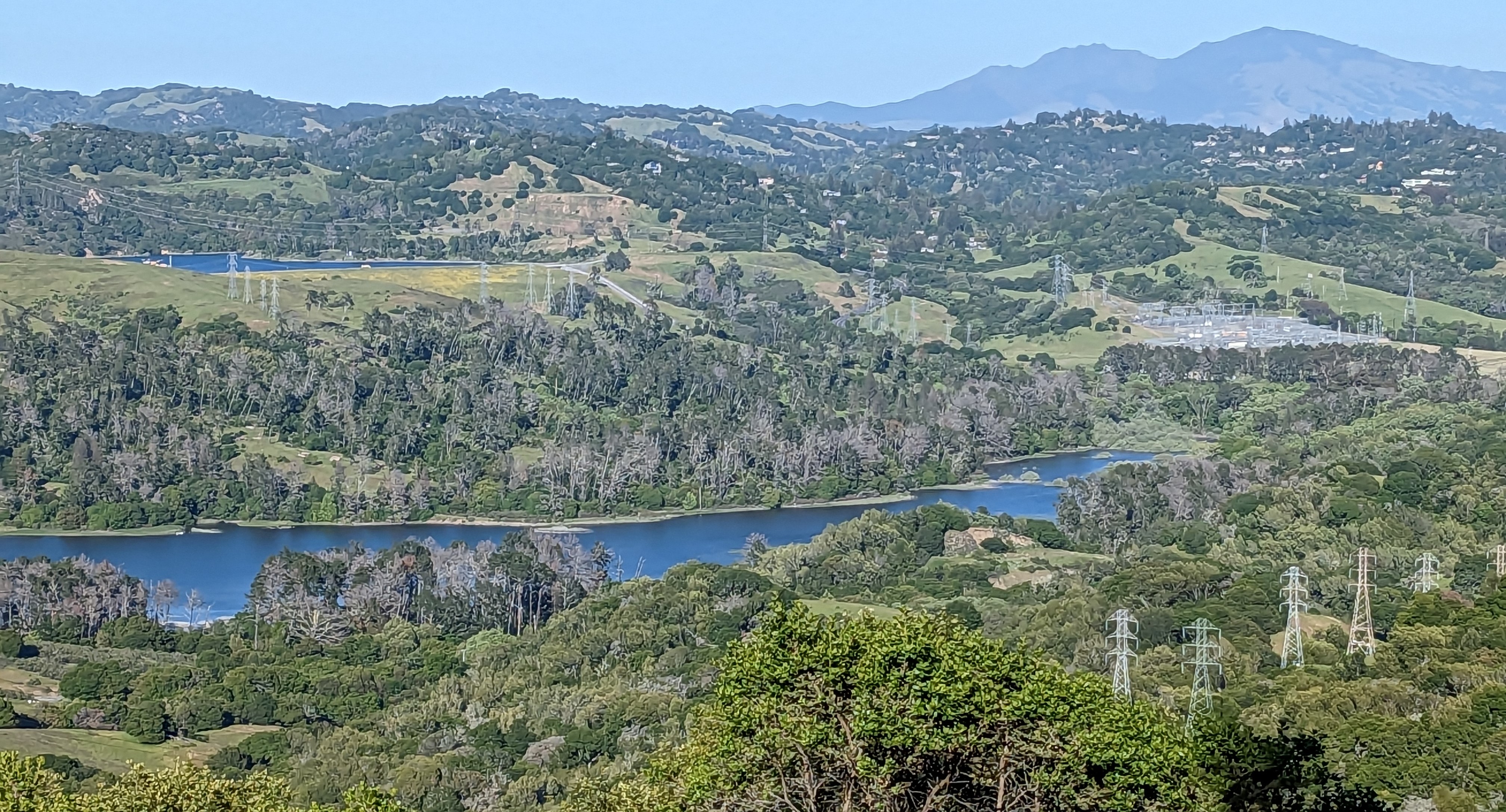
  • Point Pinole, cf. 23.5.2023 (post = forthcoming)
  • SF Bay: Risk assessment-based fish consumption advice, cf. 23.5.2023
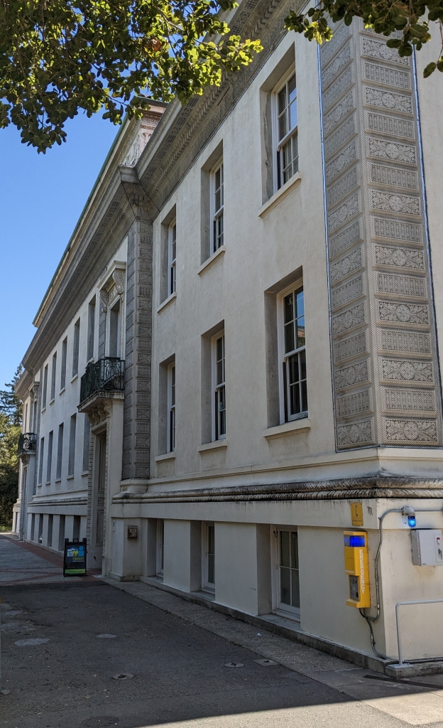
  • UCB Richmond Field Station, cf. 6.5.2023, University of California, Berkeley (UCB) campus

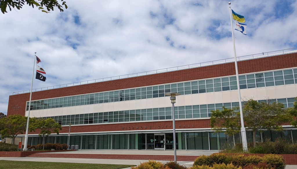
Richmond, CA, https://en.wikipedia.org/wiki/Richmond,_California: … a city in western Contra Costa County … in the San Francisco Bay Area’s East Bay region … population … 116,448 as of the 2020 census … The Ohlone were the first inhabitants …, settling an estimated 5,000 years ago … At the onset of World War II, … four … Shipyards were built along Richmond’s waterfront, employing thousands of workers, many migrating to Richmond from other parts of the country after being recruited …When the war ended the shipyard workers were no longer needed … a decades-long population decline ensued … By 1960 much of the temporary housing built for the shipyard workers was torn down … In the 1970s, the Hilltop area was developed in Richmond’s northern suburbs, further depressing the downtown area as it drew retail clients and tenants away to the large indoor Hilltop Mall, which opened in 1976 … In 2006, the city celebrated its centennial. This coincided with the … streetscaping project of Macdonald Avenue … designated the city’s “Main Street District” by the state of California … The city has in the past suffered from a high crime rate … By 1991, the city’s all-time high of 62 homicides … was seven times the national average … In 2007, Richmond opened a program to prevent gun violence, the Office of Neighborhood Safety … The program … analyzes public records to determine “the 50 people in Richmond most likely to shoot someone and to be shot themselves.” It … offers selected individuals “a spot in a program that includes a stipend to turn their lives around” … Richmond is no longer ranked as a “most dangerous” city, in either California or the United States … … There are 17 emergency warning sirens in the city … tested on the first Wednesday of every month, at 11 am, [e.g., 3 May 2023] and are usually used to warn of toxic chemical releases from the Chevron Richmond Refinery … annual … Cinco de Mayo celebrations … attracts thousands …The Richmond Police Department, Fire Brigade, United States Marine Corps and other organizations participate in the parade …

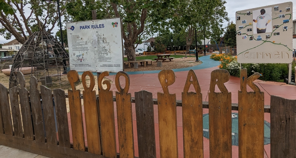
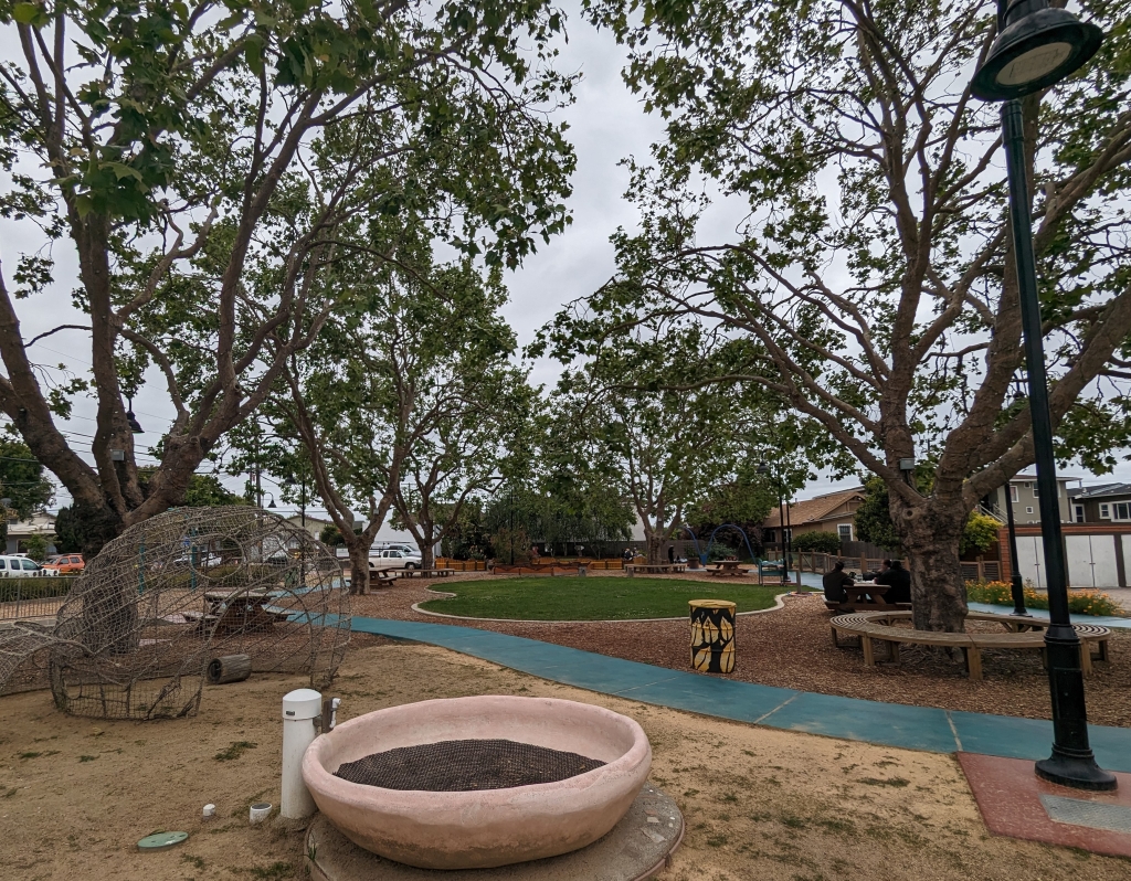
Health In All Policies: Iron Triangle Case Study, www.transparentrichmond.org/stories/s/Iron-Triangle/f84x-aghg: The Iron Triangle neighborhood … within the City of Richmond …is bounded by three major railroad tracks: the Union Pacific Railroad/BART tracks …; the Burlington Northern Santa Fe Railway tracks …; and the Richmond Greenway … 61% Hispanic residents, 25% Black residents, 8% Asian residents, and 7% white residents. Few residents have completed associate’s, bachelor’s, or more advanced degrees, although many have completed high school and some college. Historically, poverty rates in the Iron Triangle have been significantly higher … Due to being a historically disadvantaged community, Iron Triangle residents face many community stressors including violence, blight, lack of green space, and more, which affect health outcomes … Founded by a Richmond resident in 2007, Pogo Park is a community organization focused on transforming lives and opportunities by working side by side with neighborhood residents to create, program and operate public spaces. The organization got its initial start as one of the first projects that emerged from the City of Richmond’s Health Element of the General Plan. This project was the renovation of the Elm Playlot in Richmond’s Iron Triangle neighborhood. The park was a common location for drug dealing … considered unsafe, and inaccessible to residents. Through a set of mixed engagement strategies … residents came up with a new vision … to transform the small park into an anchor public space in the middle of their neighborhood – the heart of the community … Pogo Park also submitted a successful $6.2 million grant to Caltrans to build the first leg of the “Yellow Brick Road” (a project to build safe streets in the Iron Triangle for children to walk and bike) … will connect Elm Playlot directly to Harbour-8 Park, giving local children a safe, clean and green pathway to walk or bike to and from the two parks … Pogo Park Products … is a social enterprise that creates handcrafted play environments for children and also employs people who live in the Iron Triangle community … Since 2007, Pogo Park has hired more than 100 Iron Triangle residents and invested over $16 million in the community … Yellow Brick Road – The idea … was conceived in 2009 by youth from the Iron Triangle as a project that would deploy thematic symbols on roads and sidewalks to designate safe walking routes and connect community key assets … recieved a $6.2 million Caltrans grant to built the first section of the Yellow Brick Road in the Iron Triangle and $4.1 million California Natural Resources Agency grant to build green infrastructure. Construction began … in June 2021 …

Health in All Policies, www.ci.richmond.ca.us/2575/Health-in-All-Policies: The City has implemented a variety of programs and strategies to adopt a Health in all Policies approach following a community development process in 2012. To track ongoing progress toward health equity, improve community awareness and benefits from HiAP, and broaden the scope and depth of beneficial impacts on population health, the City Manager’s Office published the Health in All Policies Landing Page on Transparent Richmond, the City’s open data website, in October 2022 … [incl.] Health in All Policies open data webpage … key findings of the most recent Progress Report … recommended next steps …

9 May 2023, ♣ Φ Berkeley parks

9.5.2023, Berkeley parks

Arbitrary collection of Berkeley parks, strongly varying in character:

  • Aquatic park
  • Berkeley Hills incl. Clark Kerr trail
  • Berkeley Rose Garden, see: 23.5.2023
  • People’s park, see: 6.5.2023
  • Poetry Park at Arts Magnet School, see: 27.5.2023
  • SF Bay Trail, see: 9.5.2023
  • Tilden Park, incl. Nimitz trail

City of Berkeley: Parks and recreation – Parks, https://berkeleyca.gov/community-recreation/parks-recreation: Berkeley has over fifty parks, with various amenities including picnic areas, sports facilities, and more. Please follow the park rules when you visit …

9 May 2023, Φ San Francisco Bay Trail: Cycling

9.5.2023, Φ San Francisco Bay Trail: Cycling

Along the trail, there are interpretive panels concerning, e.g.:

  • History
  • Wetlands
  • Native culture
  • Views
  • Habitats
  • Shorebirds.

Users of the SF Bay Trail also encounter a range of health-related rules and recommendations, incl. the following:

  • No smoking
  • No alcoholic drinks
  • „Wear a helmet“ – „State law requires that all bicyclists under age 18 wear an approved helmet while riding on trails and roadways. The District also strongly recommends that all equestrians and bicyclists wear helmets at all times“
  • No collecting … (plants, animals)
  • Ticks: „To be safe …“, „If you do find a tick attached to your skin …“

San Francisco Bay Trail, https://en.wikipedia.org/wiki/San_Francisco_Bay_Trail: … a bicycle and pedestrian trail that when finished will allow continuous travel around the shoreline of San Francisco Bay. As of 2020, 356 miles (573 km) of the trail have been completed. When finished, the trail will be over 500 miles (800 km) of paved and gravel paths, bike lanes, and sidewalks, linking 47 cities across nine counties and crossing seven toll bridges … a project of the Association of Bay Area Governments (ABAG) and the Metropolitan Transportation Commission (MTC), in collaboration with other agencies, private companies, non-profit organizations, and advocacy groups … intended to provide recreation for hikers and bicyclists, viewpoints for wildlife, space for environmental education, and corridors for bicycle transportation as well as access to historic, natural and cultural sites, including over 130 parks … an interconnected trail system that links parks, open spaces, points of interest, and communities on or near the bay shoreline … will also provide access inland to open spaces and preserves, streams, and the Bay Area Ridge Trail, which forms the second of two concentric rings around the bay … Sections of the Bay Trail exist in all nine Bay Area counties … The idea for the Bay Trail was launched in the Fall of 1986 … Senate Bill 100 …

Metropolitan Transport Commission, https://mtc.ca.gov/operations/regional-trails-parks/san-francisco-bay-trail: … a joint project of MTC and the Association of Bay Area Governments (ABAG). The project engages with partners large and small across the region and coordinates efforts for the trail that include raising critical funds, building and managing the trails — and encouraging public participation.

7 May 2023 ff, Φ SF Bay Area transport issues

7.5.2023 ff, Φ SF Bay Area transport issues

Impressions concerning transport issues in the SF Bay Area:

(1) Walking & multiple use

  • SF Bay trail, Richmond Bay trail: „Common ground“, „Share the path“; cf. 9.5.2023, 10.5.2023
  • Wildcat Canyon multipurpose trail; cf. 24.5.2023
  • Richmond / Pogo Park: Yellow Brick Road; cf. 10.5.2023

(2) Cycling

  • City of Berkeley: Bike boulevards, https://berkeleyca.gov/city-services/getting-around/walking-and-biking/bike-boulevards: … streets that have been identified as optimal routes for cyclists. These streets discourage cut-through vehicle traffic and prioritize through-traffic by bicycle … https://berkeleyca.gov/sites/default/files/2022-02/Bicycle-Boulevard-Design-Tools-and-Guidelines.pdf: Wilbur Smith Associates (2000): Bicycle Boulevard Design Tools and Guidelines. Prepared for City of Berkeley, Planning and Development Department, Advance Planning Division. Approved by City Council on April 4, 2000, Resolution No. 60,503-N.S.
  • „Save Hopkins“ – „Friends of Hopkins Street“, https://savehopkins.org/: … educational and advocacy group formed by and for Hopkins Street residents, neighbors, business owners … The city was proposing a two-way, Class IV (physically separated) bicycle track along the entirety of Hopkins Street … this proposal in this setting is dangerous and inconsistent with the city’s own plan …
  • Berkeley – Cycling, https://en.wikipedia.org/wiki/Berkeley,_California (18.3.2023): Berkeley … one of the highest rates of bicycle and pedestrian commuting in the nation … the safest city of its size in California for pedestrians and cyclists, considering the number of injuries per pedestrian and cyclist, rather than per capita … Berkeley has modified its original grid roadway structure through use of diverters and barriers, moving most traffic out of neighborhoods and onto arterial streets … maintains a separate grid of arterial streets for bicycles, called Bicycle Boulevards, with bike lanes and lower amounts of car traffic … Bicycle and pedestrian paths: Ohlone Greenway … San Francisco Bay Trail … Berkeley I-80 bridge – opened in 2002, an arch-suspension bridge spanning Interstate 80, for bicycles and pedestrians only, giving access from the city at the foot of Addison Street to the San Francisco Bay Trail, the Eastshore State Park and the Berkeley Marina … Berkeley has a network of historic pathways that link the winding neighborhoods found in the hills and offer panoramic lookouts over the East Bay …

(3) Scooters

(4) Public transport

  • Alameda-Contra Costa Transit District (AC Transit) (April 2023ff): Realign Plan, www.actransit.org/press-release/ac-transit-realign-plan-survey-now-underway: … a comprehensive quantitative and qualitative assessment of every bus line within our service network … there has been a paradigm shift in public transit travel patterns in the wake of the pandemic, which has cut AC Transit’s ridership almost in half and led to significant budget shortfalls … we must analyze every mile of where our service is currently operating; better understand the mobility needs …; and ultimately, how to realign bus lines against a backdrop of bus operator shortages and dwindling funds … will also record and incorporate the personal and detailed experiences of riders through a comprehensive survey, public meetings, and one-on-one conversations created in partnership with community-based organizations …
  • UCB „Loop“, https://dac.berkeley.edu/services/mobility-accommodations/loop-golf-cart: a golf cart that provides intra-campus rides for eligible faculty, staff, and students with disabilities … This service was created to assist students with mobility disabilities (including temporary disability as a result of injury) and visual impairments … It has since has extended to serve disabled staff and vistors, and to run during additional hours and times of the year …
  • San Francisco, Salesforce Park: sitting above a major bus transit center; cf. 18.5.2023.

(5) Other issues

  • Kiwibots on UCB campus. Carolyn Said (2019_05_26): Kiwibots win fans at UC Berkeley as they deliver fast food at slow speeds. www.sfchronicle.com/business/article/Kiwibots-win-fans-at-UC-Berkeley-as-they-deliver-13895867.php: Four-wheeled, cooler-size Kiwibots are a familiar sight at UC Berkeley as they ferry burritos, Big Macs and bubble tea to students … overall, Berkeley has been a welcoming test bed for the fleet of up to 40 robots that have permission to operate on the campus and nearby neighborhoods.

6 May 2023 ff, Φ University of California, Berkeley (UCB) campus

6.5.2023 ff, Φ University of California, Berkeley (UCB) campus

https://en.wikipedia.org/wiki/University_of_California,_Berkeley: … public … research university … Established in 1868 … the founding campus of the University of California system. Its fourteen colleges and schools offer over 350 degree programs and enroll some 32,000 undergraduate and 13,000 graduate students … The university founded and maintains relationships with three national laboratories at Berkeley, Livermore and Los Alamos … and has played a role in many scientific advances, from the Manhattan Project … to breakthroughs in computer science and genomics … Ten faculty members and 40 male students made up the fledgling university when it opened in Oakland in 1869 … The university began admitting women the following year …

UC Berkeley School of Public Health, formerly located in Haviland Hall, https://en.wikipedia.org/wiki/UC_Berkeley_School_of_Public_Health: … one of fourteen schools and colleges … Established in 1943 …it was the first school of public health west of the Mississippi River … Key laboratories … during the middle of the century were the Naval Biological Laboratory, which focused primarily on aerobiology and related microbial research, and the Sanitary Engineering Research Laboratory which, maintained with the UC Berkeley College of Engineering, pioneered inquiry in the Environmental Health Sciences … The school … played a direct role in community health for years, working with the unified school district, Visiting Nurse Association, and city to provide health services to the Berkeley community through the Berkeley Unified Health Plan …

UC Berkeley College of Environmental Design, https://en.wikipedia.org/wiki/UC_Berkeley_College_of_Environmental_Design: … located in Bauer Wurster Hall on the southeast corner of the main UC Berkeley campus … In 1894, Bernard Maybeck was appointed instructor in drawing at the Civil Engineering College of the University of California …

https://ced.berkeley.edu/: Architecture; Landscape architecture & Environmental Planning; City & Regional Planning; Institute of Urban and Regional Development

UCB campus:

  • Sather Tower, https://en.wikipedia.org/wiki/Sather_Tower: … a bell tower with clocks on its four faces … more commonly known as The Campanile … for its resemblance to the Campanile di San Marco in Venice … In 2017, a pair of peregrine falcons began nesting on top … followed by webcams and the Cal Falcons social media project …
  • Sather Gate, https://en.wikipedia.org/wiki/Sather_Gate: … a prominent landmark separating Sproul Plaza from the bridge over Strawberry Creek, leading to the center of … campus … Originally, the gate served as the terminus of Telegraph Avenue, and marked the university’s south entrance … part of the historic Sproul Plaza, a major center for student activity that housed many protests throughout the Free Speech Movement …
  • Doe Memorial Library, https://en.wikipedia.org/wiki/University_of_California,_Berkeley_Libraries: built in 1910, originally housed the main collections. A strictly Beaux-Arts Classical building … designed by campus architect John Galen Howard as one of the original structures in the “Athens of the West” campus plan … today … Doe serves as the library system’s reference, periodical, and administrative center …
  • UCB Richmond Field Station (RFS), https://en.wikipedia.org/wiki/Richmond_Field_Station: … a satellite campus … in Richmond, California. The name was changed to the Richmond Bay Campus (RBC) in 2012 and then Berkeley Global Campus at Richmond Bay (BGC) in October 2014, reflecting plans to expand the site to address global issues, first as a second campus for Lawrence Berkeley National Laboratory …, then as an expansion of the main campus in Berkeley itself. In 2016, the expansion plans were suspended and the name reverted to Richmond Field Station … Starting from the 1950s, UC Berkeley conducted large-scale engineering research at RFS for projects which were not suited for the central campus …, including research in solid waste and sewage, transportation and lighting, and beach erosion … … Environmental Engineering and Health Sciences Laboratory … Earthquake Engineering Research Center … Northern Regional Library Facility …

Cf.:

  • Nov-Dec 1984 Tests: TOEFL, GRE; Application to UCB-SPH
  • 1985-1989 Graduate studies of Public Health (MPH) and Epidemiology (Ph.D.)
  • 15 Aug 1985 Master of Public Health (MPH) program in Berkeley, CA
  • 25 Aug 1986 1986-1989 Ph.D. program in Epidemiology in Berkeley, CA